KEY POINTS
- Introduction
- Radcliff line
- Macmohan line
- Palk Strait
- Durand line
- LoC
- LAC
Introduction
India boasts a vast and strategically important geographical landscape, with a 7,516.6 km long coastline, which includes its mainland and numerous island territories such as the Andaman and Nicobar Islands and Lakshadweep. The coastline extends along the Arabian Sea to the west, the Bay of Bengal to the east, and the Indian Ocean to the south. This expansive coastline plays a crucial role in India’s economy, supporting vital maritime trade routes, fisheries, and tourism, while also offering naval security advantages. In addition to the coastline, India has an extensive land border, stretching 15,106.7 km, shared with several neighboring countries including Pakistan, China, Nepal, Bhutan, Bangladesh, and Myanmar.
The term Indian Subcontinent traditionally refers to the larger geographical region that extends beyond India’s current political boundaries. This region historically includes parts of modern-day Afghanistan and Pakistan, reaching beyond the towering Hindukush mountain range. To the east, it stretches towards the Bay of Bengal, incorporating areas that now belong to Bangladesh and parts of Myanmar. To the west, the subcontinent touches the shores of the Arabian Sea, while to the south, it meets the vast and strategically vital Indian Ocean, which has long been a crucial area for global maritime trade and geopolitical influence.
Geographically, the Indian Subcontinent is one of the most diverse regions in the world. It is home to a variety of landscapes, including towering mountain ranges like the Himalayas, sprawling plains, vast deserts, and dense forests. This diversity has significantly shaped the history, culture, and development of the region, influencing not only India but also its neighboring countries. Today, this region remains an area of both geopolitical importance and cultural richness, with India playing a central role due to its size, population, and strategic location.
| Country | Length | Armed Force | Important Landmark |
| 3,323 kilometres (2,060 mi) | Border Security Force | Radcliff line, Sir Creek, and Line of Control, | |
| 1,643 kilometres (1,021 mi) | Assam Rifles and Indian Army | ||
| 1,751 kilometres (1,089 mi) | Sashastra Seema Bal | Open border. | |
| 3,488 kilometres (2,167 mi) | Indo-Tibetian Border Force | Johnson Line, Macmohan Line | |
| Bhutan | 699 kilometres (359 mi) | Sashastra Seema Bal | Open border |
| 4,096 kilometres (2,545 mi) | Border Security Force | ||
| Afghanistan | 106 Kilometres |
Radcliffe Line
The Radcliffe Line, drawn in 1947, marked the partition of British India into the independent nations of India and Pakistan, delivering a significant blow to the vision of a united India. Named after Sir Cyril Radcliffe, the British lawyer responsible for heading the Border Commissions, the line divided the vast Indian subcontinent along religious lines, with predominantly Muslim areas becoming part of Pakistan and Hindu-majority regions remaining in India. Radcliffe, who had never visited India prior to his appointment, faced the immense challenge of fairly distributing 88 million people across a landmass of 175,000 square miles. The task was further complicated by the diverse religious, cultural, and economic landscapes of the regions.
The Radcliffe Line stretched from Kutch in Gujarat, located in the westernmost part of India, to the international border in Jammu and Kashmir, in the north. This division created widespread upheaval, leading to the displacement of millions of people and significant violence as communities were torn apart. The partition continues to shape the geopolitical landscape of South Asia, with the India-Pakistan border remaining a point of tension. Despite being intended as a swift solution to religious tensions, the Radcliffe Line had lasting consequences, including ongoing disputes, particularly in Jammu and Kashmir.
MacMohan Line
The McMahon Line serves as the de facto border between India and China, but it remains a point of contention between the two countries. It was established in 1914 as part of the Simla Accord, which aimed to define the boundary between British India and Tibet, an independent state at the time. The agreement was negotiated by Sir Henry McMahon, who was the primary British representative and India’s foreign secretary. The line, which stretches for approximately 550 miles (890 km), runs mostly along the crest of the Himalayas, beginning from Bhutan in the west and extending eastward to about 160 miles (260 km) beyond the great bend of the Brahmaputra River.
Although the McMahon Line was accepted by Tibet and British India, China has consistently refused to recognize its legitimacy. The Chinese government disputes the line’s legal status, arguing that Tibet was not sovereign and therefore had no right to negotiate international borders. Despite this, the McMahon Line has largely served as the actual boundary between India and China, particularly in the region of Arunachal Pradesh, which India administers but China claims as part of its territory. The unresolved border dispute has been a source of ongoing tension, leading to several military standoffs and skirmishes between the two countries, most notably in 1962 and in recent years.
Palk Strait
The Palk Strait is a narrow stretch of water that separates the northern coast of Sri Lanka’s Mannar district from the southern coast of India’s Tamil Nadu state. This strait serves as a natural boundary between the two nations, playing a crucial role in their maritime geography. The Palk Strait connects the Gulf of Mannar and Palk Bay to the southwest, with the Bay of Bengal in the northeast, forming a crucial link between these important bodies of water. The strait is relatively shallow, with a width ranging from 33 to 50 miles (53 to 80 km), making navigation by large ships difficult, but allowing for smaller vessels to pass through.
The Palk Strait is named after Robert Palk, who was a governor of the Madras Presidency under the British East India Company from 1755 to 1763. During the colonial era, the region was of strategic importance, and the naming of the strait reflects the British influence on the area at the time. The strait is dotted with a chain of limestone shoals known as Rama’s Bridge, which according to Hindu mythology, was built by Lord Rama’s army to cross into Lanka.
Today, the Palk Strait continues to be significant for regional fishing communities and has been a site of historical, cultural, and geopolitical importance, influencing the dynamics between India and Sri Lanka. It is also an ecologically sensitive zone, rich in marine biodiversity.
Durand Line
The Durand Line, stretching 2,430 kilometers, serves as the international border between Pakistan and Afghanistan. It was established in 1893 by Sir Mortimer Durand, a British diplomat, to delineate the boundary between Afghanistan and British India, which later became the modern states of India and Pakistan after the partition in 1947. This line, however, has remained controversial, particularly from the Afghan side, which has never officially recognized it as a legitimate border.
The Durand Line cuts through the heart of Pashtun tribal territories, dividing ethnic Pashtuns between Afghanistan and Pakistan. This has created political, social, and cultural fragmentation, as families, clans, and tribes have found themselves separated by a colonial-era boundary. In addition to the Pashtuns, other ethnic groups such as the Baloch are also affected by this division, particularly in the region of Balochistan, where the line passes through the southern stretches of Pakistan.
This border has been a major source of tension between the two nations, contributing to strained diplomatic relations and fueling insurgencies, as cross-border tribal affiliations continue to challenge state control. The porous nature of the Durand Line has also facilitated the movement of militants, smugglers, and refugees, exacerbating security concerns in the region. Despite the geopolitical implications, the Durand Line remains a critical factor in the relationship between Pakistan and Afghanistan, and its future continues to be a subject of debate.
LOC
The Line of Control (LoC) is a 450-mile-long (724 km) military control line that divides the disputed region of Kashmir, which is claimed in its entirety by both India and Pakistan. This line, established after the Indo-Pakistani War of 1947-48, is not an official international border but functions as a de facto boundary between the areas administered by each country. On the Indian side, the region is referred to as Jammu and Kashmir, while Pakistan controls what it calls Azad Jammu and Kashmir and Gilgit-Baltistan.
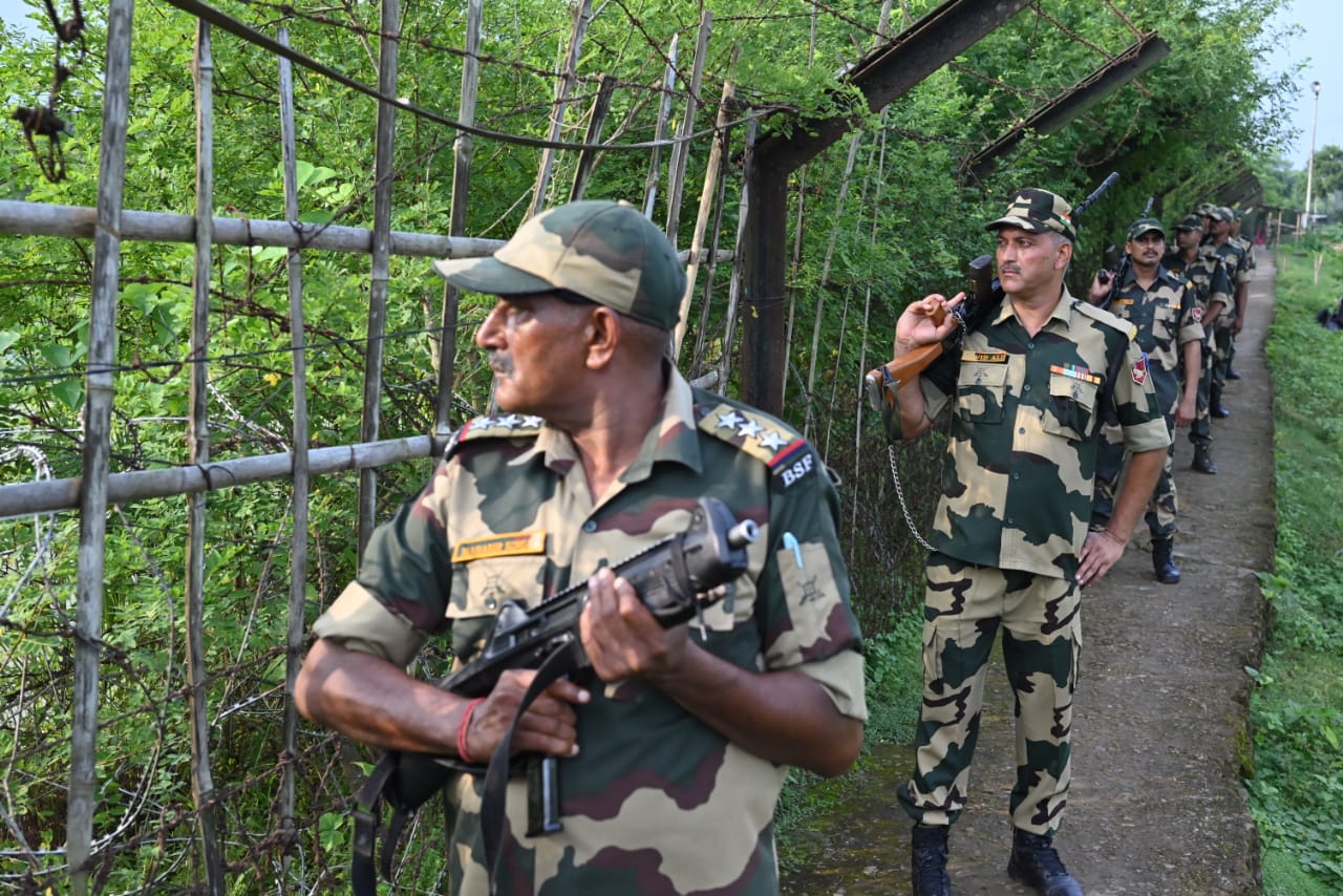
The LoC is heavily militarized, with both nations deploying tens of thousands of troops along the line. To strengthen security and prevent cross-border insurgency and infiltration, India has erected a fence along much of the LoC, equipped with floodlights and surveillance equipment. Despite these measures, the rugged terrain, dense forests, and mountainous regions make it difficult to fully seal the border. As a result, people—often militants, smugglers, or local residents—continue to cross the LoC undetected.
The LoC remains a flashpoint for frequent skirmishes and ceasefire violations between Indian and Pakistani forces, leading to casualties on both sides. The unresolved status of Kashmir, which has deep historical, religious, and political roots, continues to strain relations between the two nuclear-armed neighbors, making the LoC a symbol of the enduring conflict in the region.
LAC
The Line of Actual Control (LAC) serves as the de facto border between India and China, marking a significant and often contentious area of geopolitics in South Asia. The term was first introduced by Zhou Enlai, the then Premier of China, in a 1959 letter addressed to Indian Prime Minister Jawaharlal Nehru. This designation became particularly relevant after the Sino-Indian War of 1962, when the LAC was established as an unofficial ceasefire line following a brutal conflict over territorial disputes.
In 1993, India and China signed a bilateral agreement that aimed to respect the LAC and maintain peace along the border; however, the specific boundaries of the LAC remain ambiguous and undefined. This has led to a complex and often tense situation, as both nations occupy a vast, largely uninhabited area that extends approximately 50 to 100 kilometers wide. This region is characterized by rugged terrain and harsh weather conditions, making it difficult to establish a clear and demarcated boundary.
Despite the lack of clarity, Chinese incursions into Indian territory along the LAC have been frequent, leading to standoffs and heightened military tensions. These incursions occasionally escalate into major conflicts, underscoring the fragile state of relations between the two nuclear-armed neighbors and the enduring complexity of the territorial disputes in this sensitive region.
CONCLUSION
In conclusion, India’s borders with its neighboring countries are not just mere lines on a map; they are dynamic frontiers that encapsulate a rich tapestry of history, culture, and geopolitical significance. Each border has its own unique narrative, shaped by historical events, territorial disputes, and the diverse ethnicities that inhabit these regions. The challenges posed by these frontiers, including security concerns, cross-border tensions, and the movement of people and goods, highlight the need for cooperative dialogue and mutual understanding among neighboring nations.
Moreover, these borders offer opportunities for economic collaboration, cultural exchange, and regional stability if managed effectively. As India continues to navigate its relationships with countries like Pakistan, China, Nepal, Bhutan, Bangladesh, and Myanmar, fostering constructive engagement and diplomacy will be crucial. By acknowledging shared interests and addressing concerns through dialogue, India can work towards establishing peaceful and cooperative relationships with its neighbors. Ultimately, the frontiers of India are not just physical boundaries but gateways to building a prosperous and harmonious future for the region.


